Next Section | Table of Contents
doi:10.2204/iodp.pr.301.2004
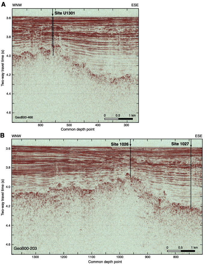
Figure F4. Examples of MCS seismic data from the 2000 ImageFlux survey (Sonne, SO149) showing locations of primary IODP Expedition 301 sites. A. Line GeoB00-446 across the southern part of Site U1301. Vertical lines indicate approximate total depth of Holes U1301A (shallower) and U1301B (deeper). B. Line GeoB00-203 across Sites 1026 and 1027. Vertical lines indicate approximate total depth of both holes. Characteristic basement and sedimentary structures are apparent in both lines.