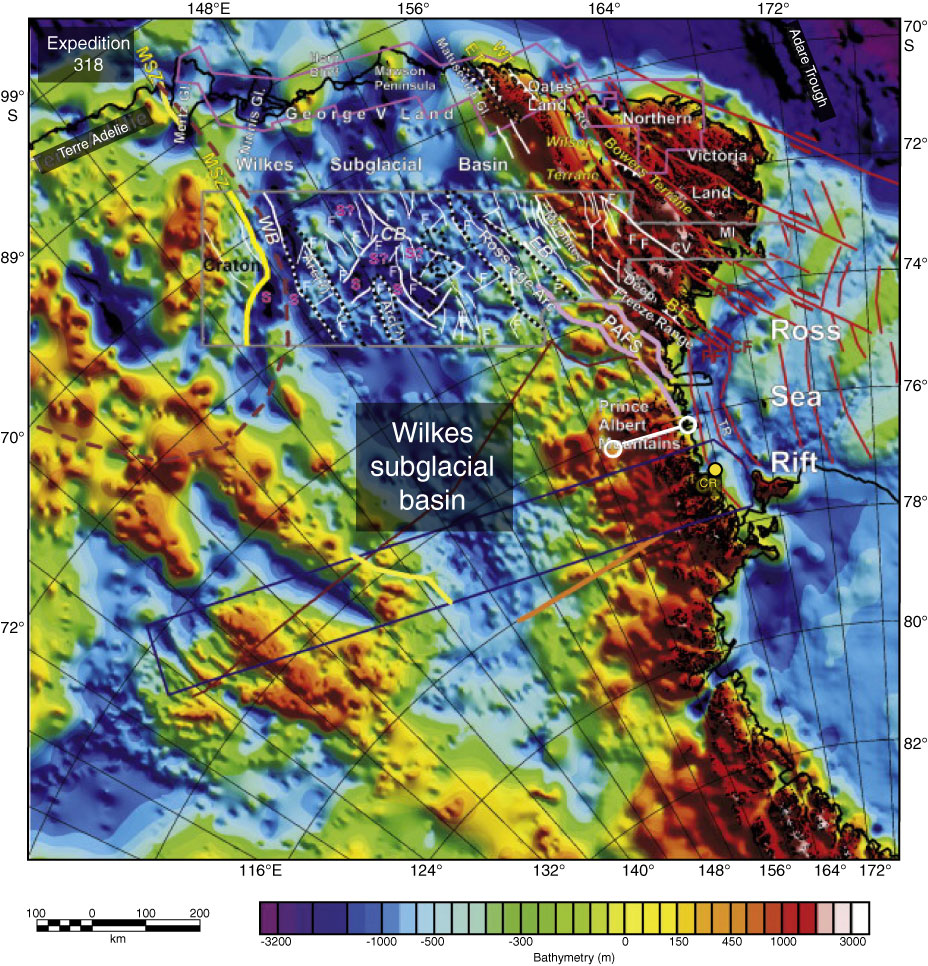
Figure F5. Aeromagnetic interpretation in the Wilkes subglacial basin. New subglacial topography map for the Wilkes subglacial basin and adjacent Trans Antarctic Mountains derived from airborne radar data is displayed over a new bedrock topography map, obtained by combining the new data with previous airborne radar data compiled within BEDMAP (Ferraccioli et al., 2009).
Previous | Close | Next | Top of page