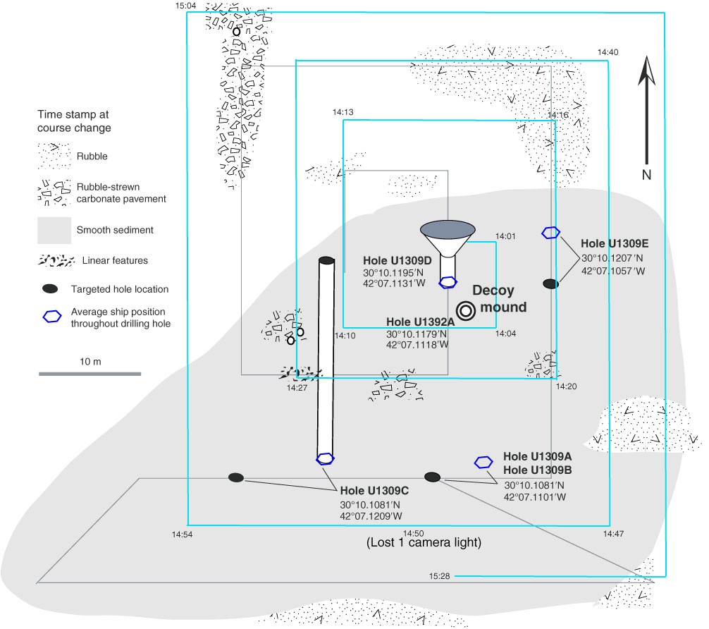
Figure F5. Map of Site U1309 (and Site U1392), showing Hole U1309D, where Expedition 340T logging was done, and Hole U1392A at Decoy mound, where a sample was obtained. Cyan track = approximate Expedition 340T camera survey locations, gray track = camera survey carried out during Expedition 304, when Holes U1309A–U1309E were drilled. The differences between locations targeted for offset Holes U1309A–U1309E are shown in comparison to position determined based on statistical ship position (reference point is Hole U1309D).
Previous | Close | Next | Top of page