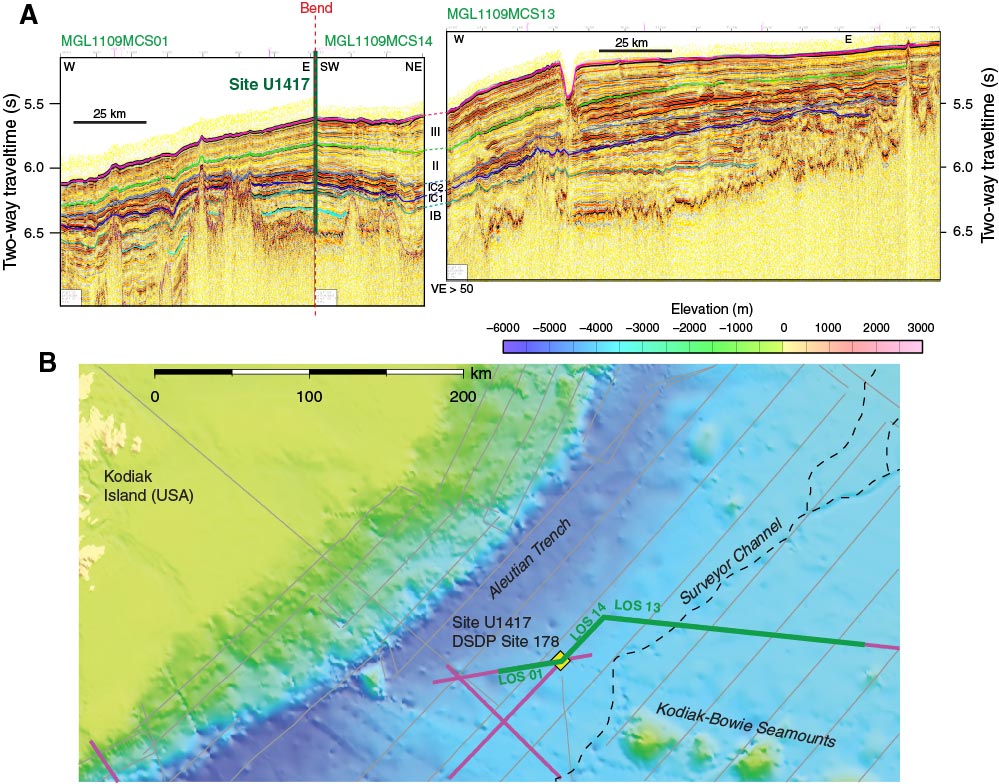
Figure F26. A. From left to right, a seismic transect from MGL1109 Line 1 toward the east, to MGL1109 Line 14 heading northeast, to MGL1109 Line 13 heading east. Seismic sequences can be mapped from Site U1417 to the Surveyor Channel. B. Multibeam bathymetry map shows location of Site U1417 and seismic profiles relative to the Surveyor Channel, Kodiak-Bowie Seamounts, Aleutian Trench, and Kodiak Island, Alaska.
Previous | Close | Next | Top of page