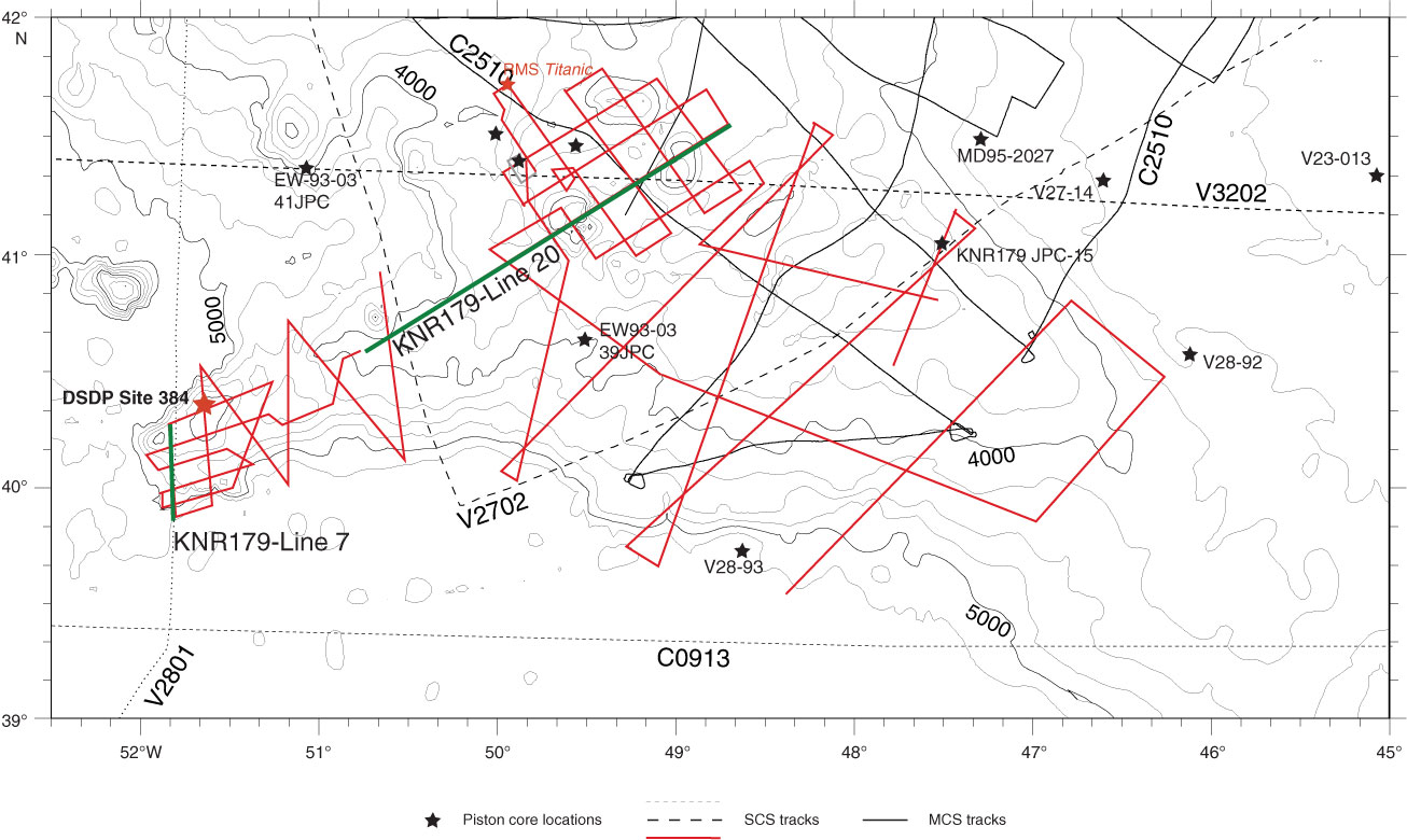
Figure F8. Track map for the Newfoundland ridges. Red lines are single-channel seismic (SCS) lines collected during the site survey Cruise Knorr179-1. Black dotted and dashed lines are other seismic profiles available to support Expedition 342 drilling. DSDP Site 384 (red star) provides stratigraphic control for interpretation of the seismic data set. Seismic details of green lines are shown in Figures F1 and F9. Black stars are locations of piston cores in the area. MCS = multichannel seismic.
Previous | Close | Next | Top of page