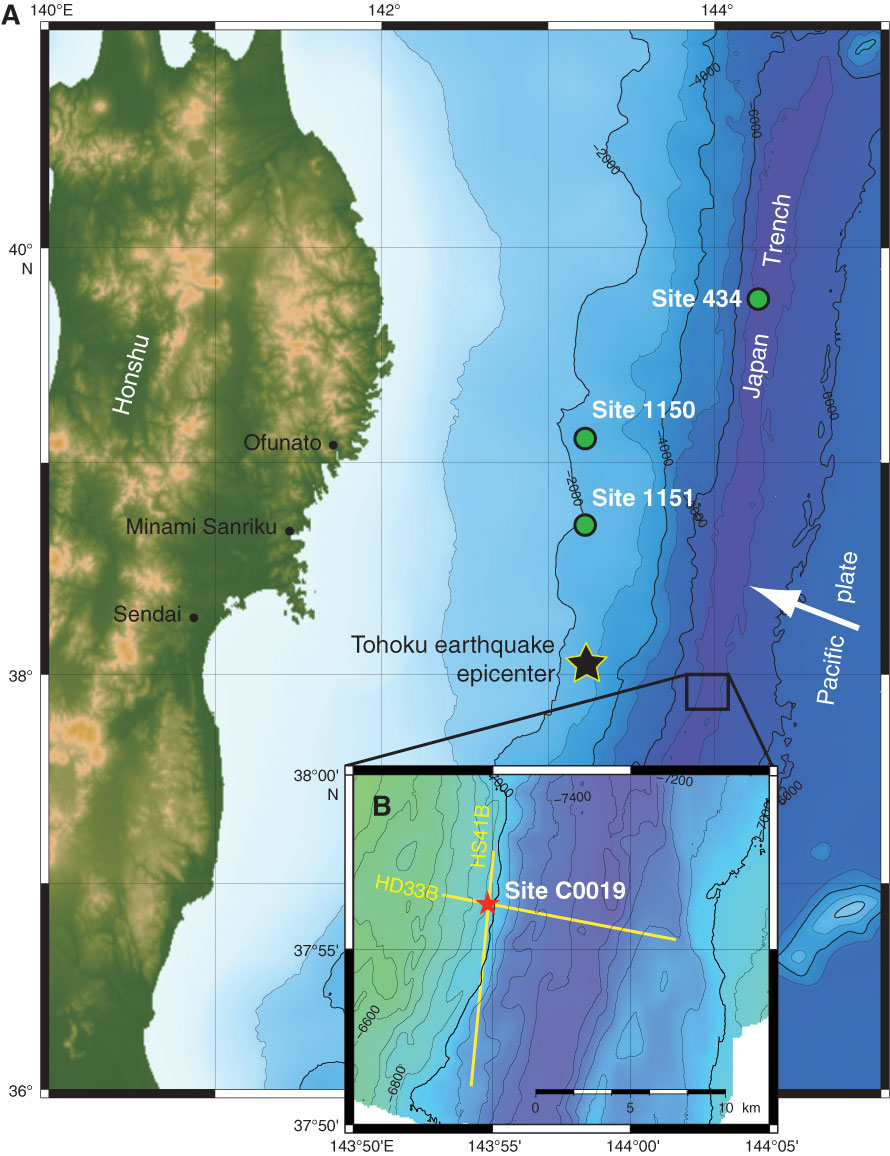
Figure F1. A. Location map, showing the eastern coastline of Honshu, bathymetry, Tohoku earthquake epicenter (black star), and location of Expedition 343/343T Site C0019 (red star). DSDP Leg 56 Hole 434 and ODP Leg 186 Holes 1150 and 1151 (green circles) are also shown. White arrow = direction of Pacific plate convergence vector. B. Inset map shows orientation of in-line seismic section Line HD33B shown in Figure F2.
Close | Next | Top of page