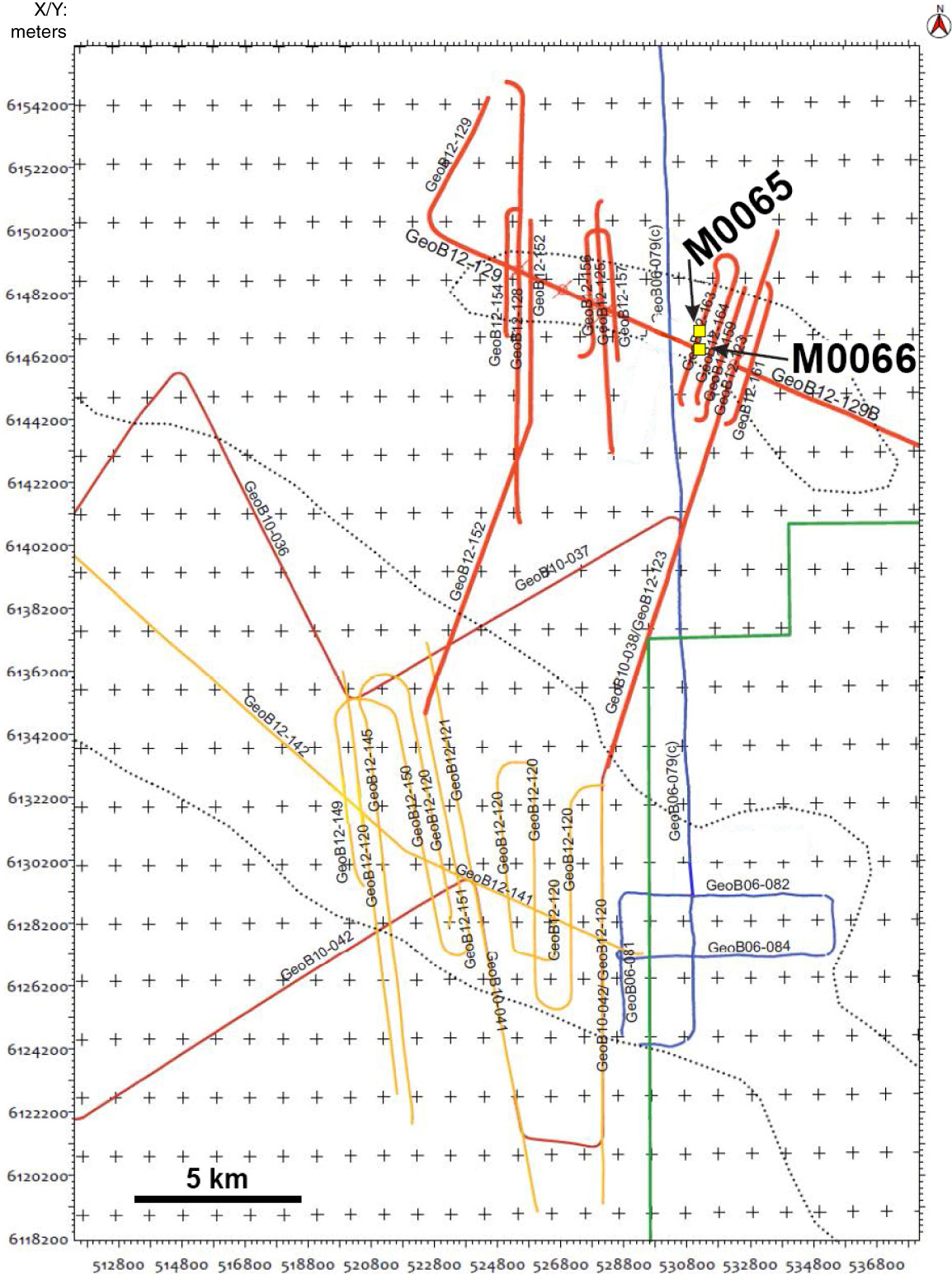
Figure F29. Detailed seismic track chart in the Bornholm Basin around Sites M0065 and M0066 (yellow squares). Green line = boundary of the ammunition dump area located to the southeast. Shallow gas may occur in the area delimited by the two dotted lines. In order to avoid any disturbances from gas, Sites M0065 and M0066 were located outside this area.
Previous | Close | Next | Top of page