Close
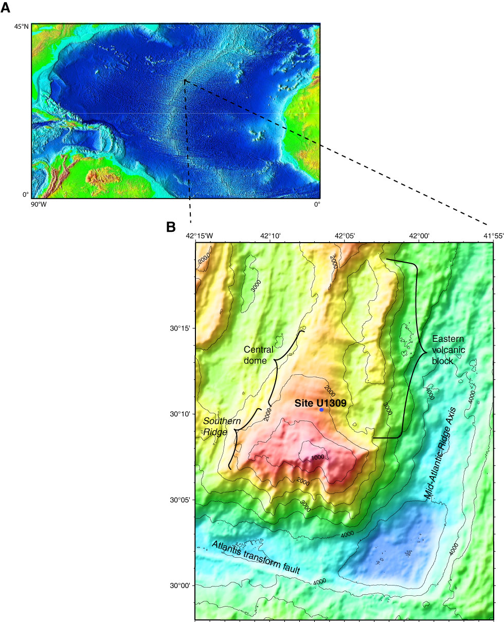
Figure F1. A. Mid-Atlantic Ridge bathymetry map. Base image from www.ngdc.noaa.gov/mgg/image/2minrelief.html. B. Map of Site U1309 on Atlantis Massif. Base map from the “Expedition 304/305 summary” chapter.
Close | Top of page