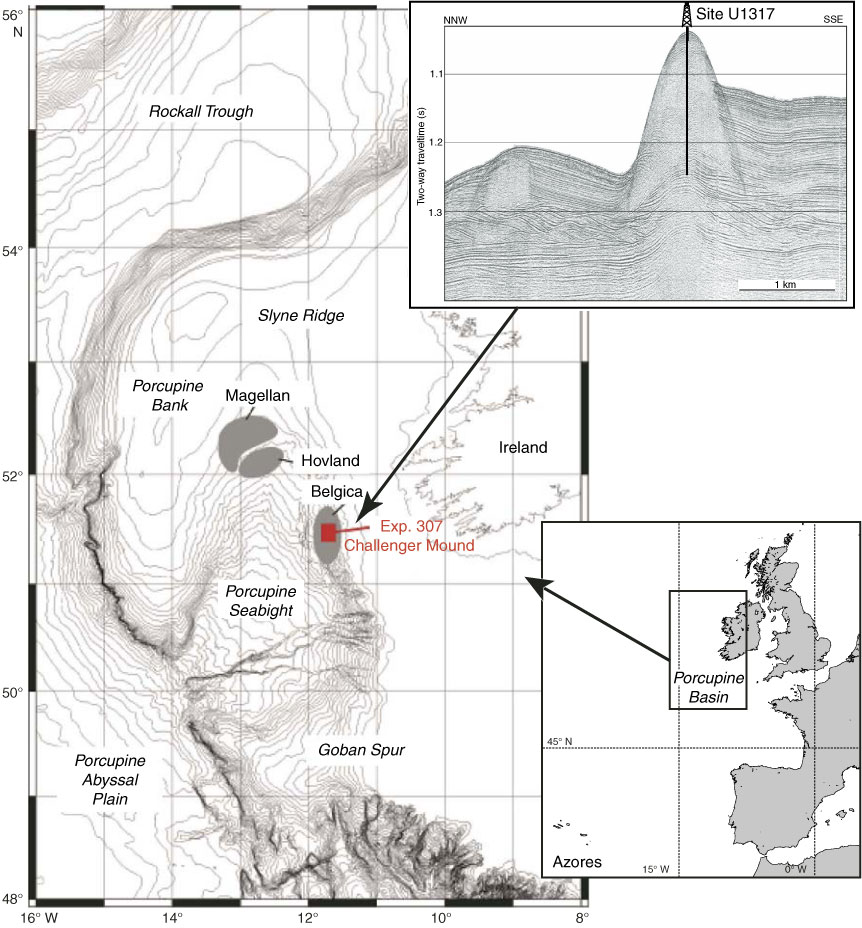
Figure F1. Bathymetric map of Porcupine Basin indicating drilling sites for Expedition 307 and high-resolution NNW–SSE seismic profile P000658 illustrating Challenger Mound (upper right). Modified from the “Expedition 307 summary” chapter.
Close | Next | Top of page