Previous | Close | Next
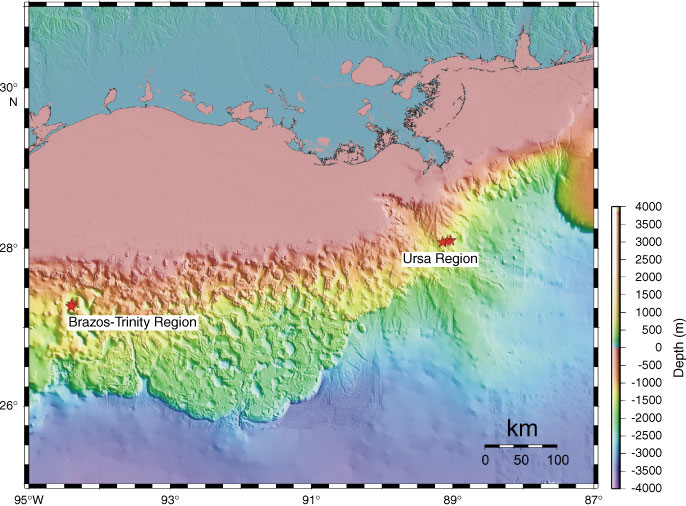
Figure F4. Bathymetric image of the continental slope of the Gulf of Mexico. Proposed drilling was in the Brazos-Trinity region and the Ursa region.
Previous | Close | Next | Top of page