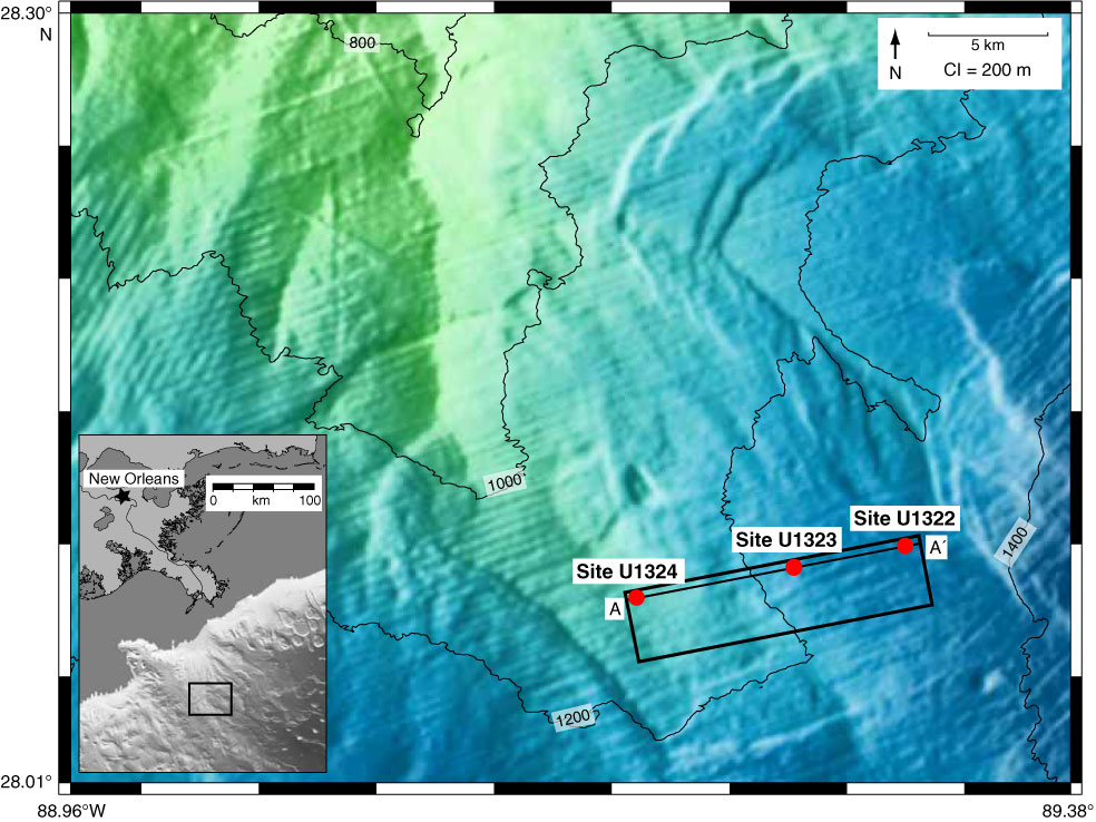
Figure F1. Bathymetry map of the Ursa Basin with locations of Site U1324 and Site U1322 (red dots) (modified from Sawyer et al., 2007b). The Ursa Basin is downdip of the Mississippi River. Seismic line A–A′ is shown in Figure F2. CI = contour interval.
Close | Next | Top of page