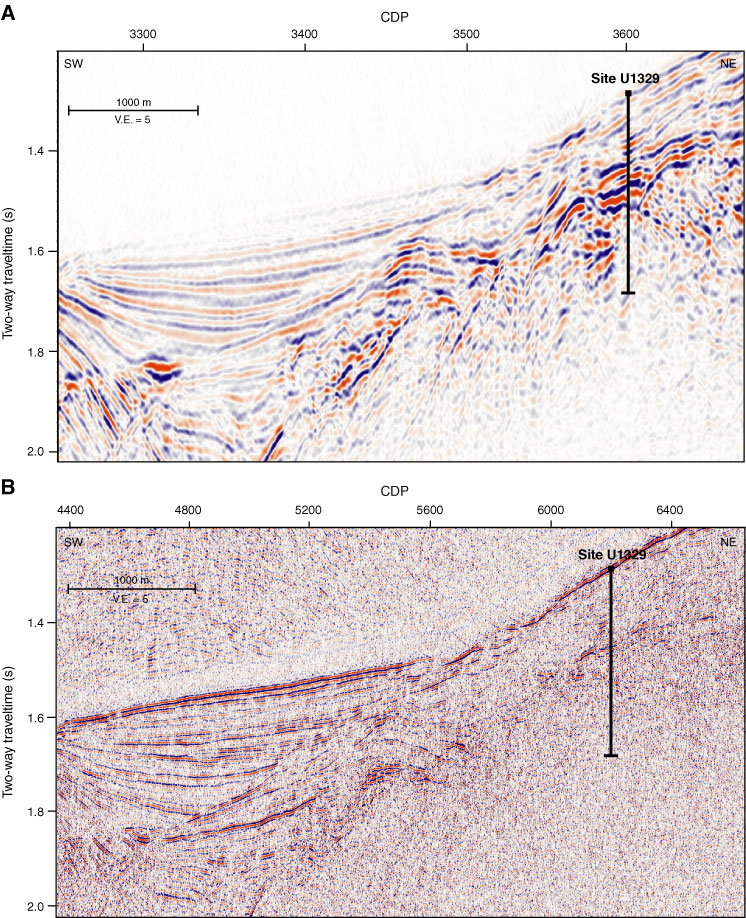
Figure F12. A. Section of low-frequency MCS Line 89-08 over Site U1329. A BSR is evident up to common depth point (CDP) 3300. No clear BSR is identifiable for the remaining profile. B. Section of higher frequency MCS Line ODP-01 over Site U1329 showing a faint reflection in the upper slope section interpreted as a BSR. V.E. = vertical exaggeration.

Previous | Close | Next | Top of page