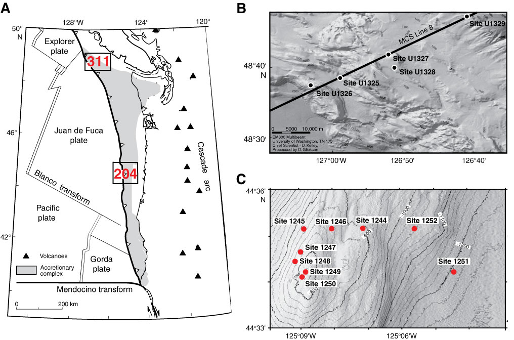
Figure F1. A. Map of study area showing location of areas targeted during ODP Leg 204 and IODP Expedition 311. B. Multibeam bathymetry map along the transect across the accretionary prism showing location of drilled sites and multichannel seismic (MCS) Line 8. Cold vent Site U1328 is ~2 nmi southeast of the transect (courtesy of D. Kelley, J. Delaney, and D. Glickson, University of Washington; C. Barnes and C. Katnick, Neptune Canada, University of Victoria; funded by University of Washington and W. M. Keck Foundation). C. Bathymetry of area targeted during Leg 204 showing location of the summit (Site 1249) where massive gas hydrate occurs near the seafloor.
Close | Next | Top of page