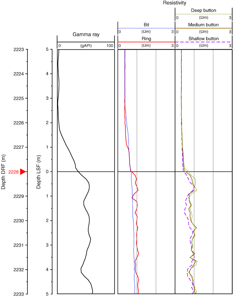
Figure F12. Identification of mudline in Hole C0001D using gamma ray and resistivity logs of the geoVISION tool (memory data). Mudline is identified by a break in the gamma ray and resistivity logs at 2228 m drillers depth below rig floor (DRF). Note that resistivity data are plotted on a linear scale. LSF = LWD depth below seafloor.
Previous | Close | Next | Top of page