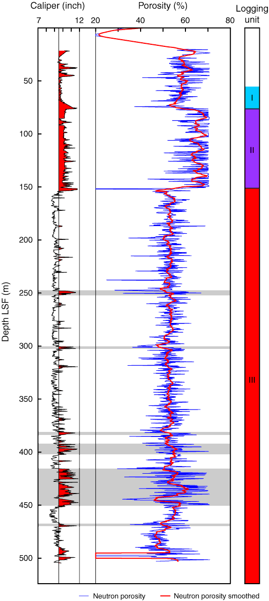
Figure F11. Real-time bulk density data (RHOB) profile from Hole C0003A and ADIA caliper data. Red zones on caliper log = caliper values >9.5 inches interpreted as washout zones, gray zones = potential deformation-related washed out zones as defined in “Log characterization and lithologic interpretation.” LSF = LWD depth below seafloor.
Previous | Close | Next | Top of page