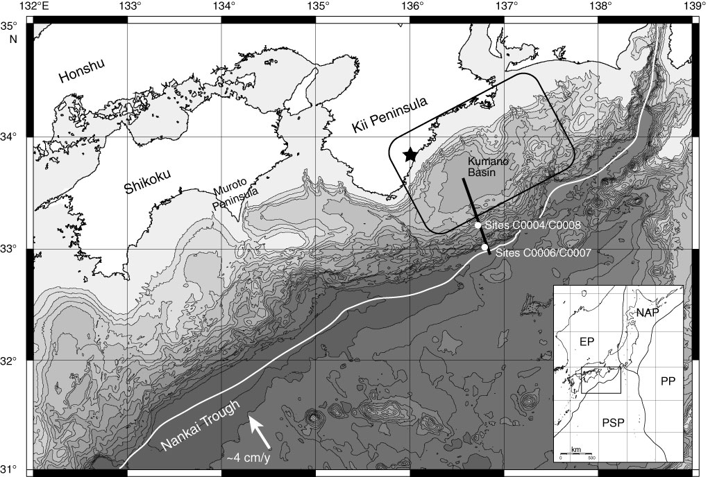
Figure F1. Map of Nankai Trough area, showing location of Sites C0004–C0008 (white circles). Large square and star = rupture zone and epicenter of 1944 Tonankai earthquake. EP = Eurasian plate, NAP = North American plate, PP = Pacific plate, PSP = Philippine Sea plate.
Close | Next | Top of page