Previous | Close | Next
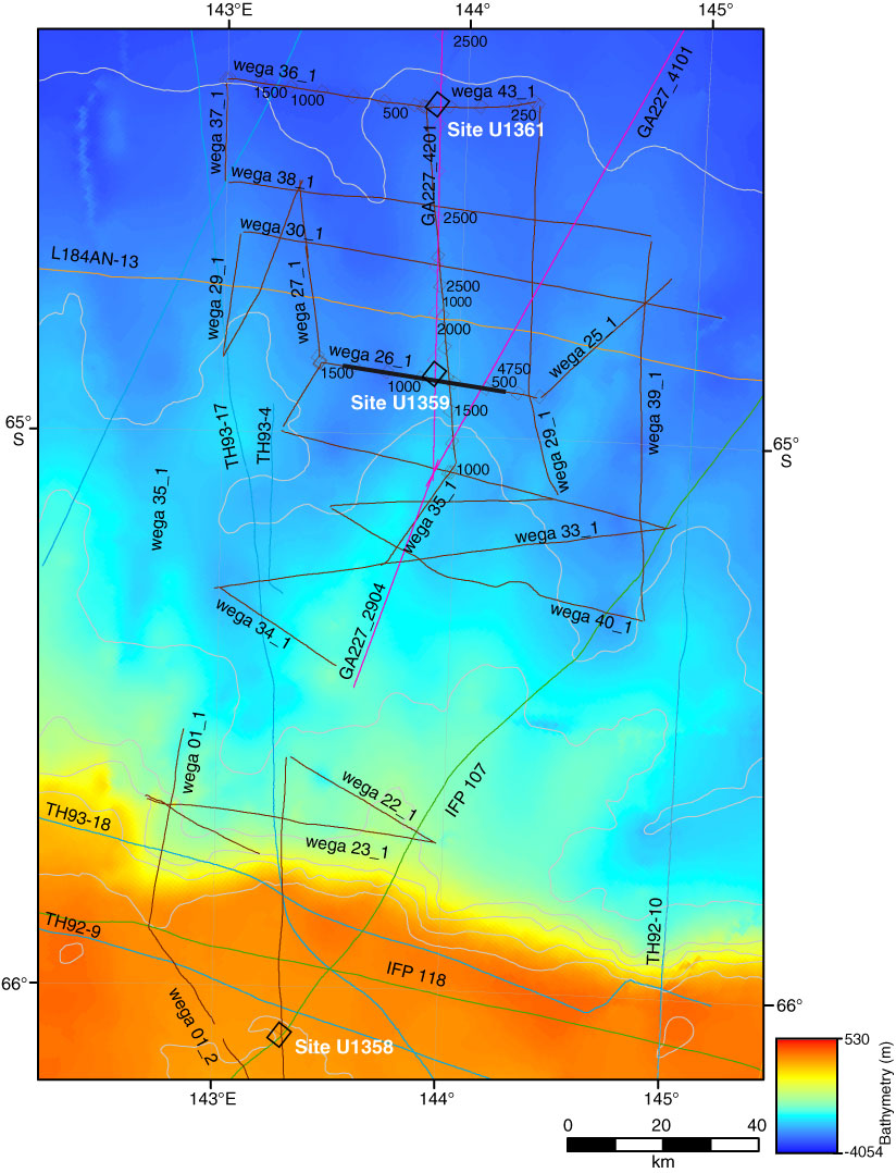
Figure F19. Bathymetric map of eastern Wilkes Land margin showing the location of Site U1358, U1359, and U1361. Contour interval = 250 m. Bold line = multichannel seismic reflection profile shown in Figure F20.
Previous | Close | Next | Top of page