Close | Next
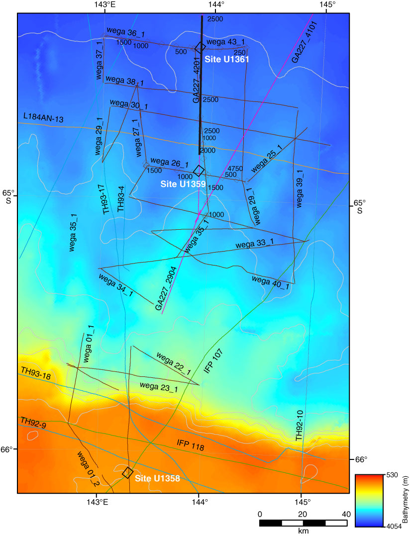
Figure F1. Bathymetric map of eastern Wilkes Land margin showing the location of Site U1361. Bold line = multichannel seismic reflection profile shown in Figure F2.
Close | Next | Top of page