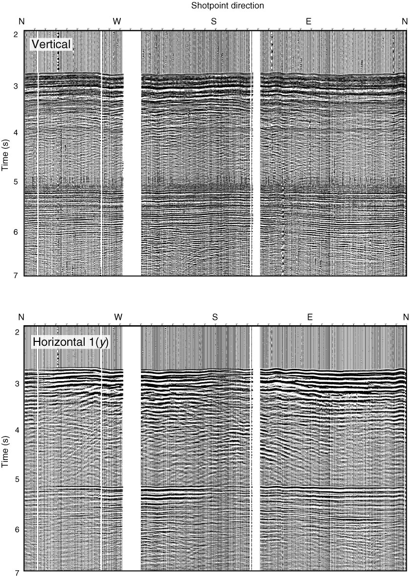
Figure F100. Plot of circle shooting data from the VSI seismometer at 3217 m WRF for vertical and one horizontal component (y), shown with direction of shotpoint; north (N), east (E), south (S), and west (W). Records are bandpass filtered at 4–200 Hz. Distance from air gun shotpoints from the Kairei were maintained at 3.5 km from borehole.

Previous | Close | Next | Top of page