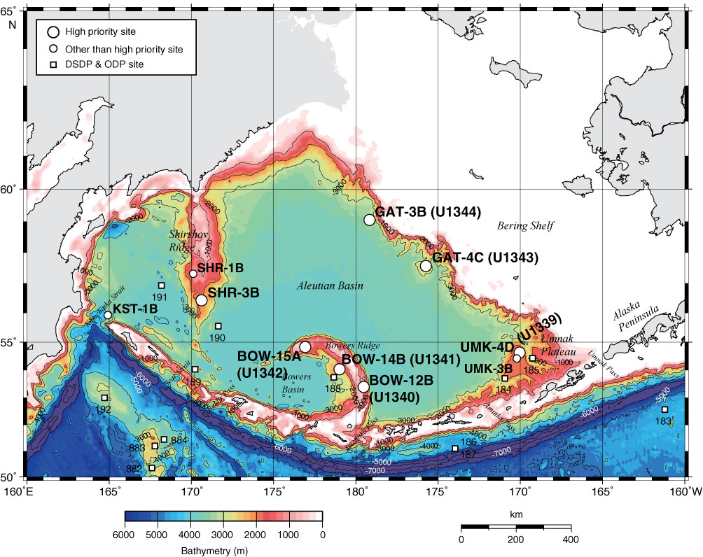
Figure F1. Overview map of proposed sites in the Bering Sea, Expedition 323. Bathymetry image and contour line created by Global Mapping Tool (Wessel and Smith, 1995) using NGDC/NOAA ETOPO2 database (www.ngdc.noaa.gov/mgg/fliers/01mgg04.html). Solid line contours = 1000 m. DSDP = Deep Sea Drilling Project, ODP = Ocean Drilling Program.
Close | Next | Top of page