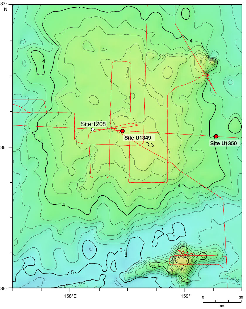
Figure F1. Bathymetry of Ori Massif and location of Sites U1349 and U1350. Contours and colors indicate bathymetric depths predicted by satellite altimetry (Smith and Sandwell, 1997). Contours shown at 200 m intervals; dark contours shown for kilometer multiples. Red line = track of Cruise TN037 site survey (Klaus and Sager, 2002). Site 1208 was cored during ODP Leg 198. See the "Expedition 324 summary" chapter for details).
Close | Next | Top of page