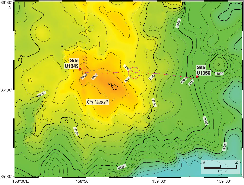
Figure F2. Track line of clockwise circular survey for ship's magnetic heading correction conducted in transit from Site U1349 to U1350. Annotations are time in Universal Time Coordinated. Red dots along track are at 10 min intervals. Contours and colors indicate bathymetric depths using the 30 arc-s resolution GEBCO_08 grid (General Bathymetric Chart of the Oceans, 2008).
Previous | Close | Next | Top of page