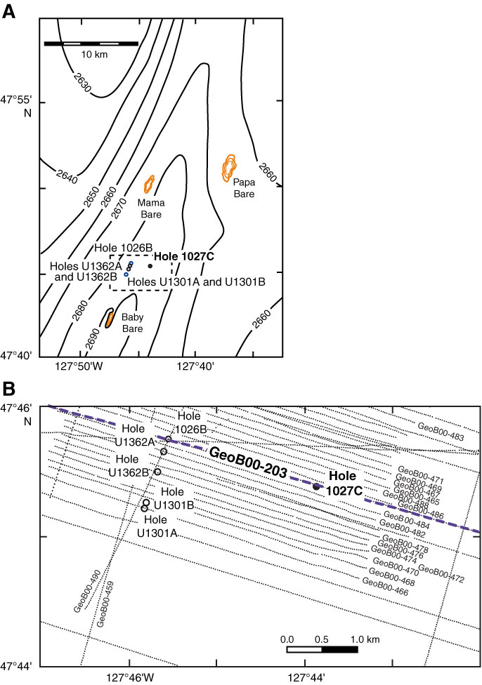
Figure F1. Site maps showing location of Hole 1027C. A. Regional bathymetry (Davis, Fisher, Firth, et al., 1997) showing locations of ODP and IODP drill sites. Contour interval is 10 m. Solid circle is Hole 1027C; open circles are other holes drilled during earlier expeditions (blue) or Expedition 327 (black). Gold contours show locations of basement exposure on Baby Bare, Mama Bare, and Papa Bare outcrops. Area of dashed box is shown in B. B. Track chart of seismic lines around Site 1027 collected during the 2000 ImageFlux expedition (Zühlsdorff et al., 2005; Hutnak et al., 2006). Part of seismic Line GeoB00-203 (thick dashed line) is shown in Figure F2.
Close | Next | Top of page