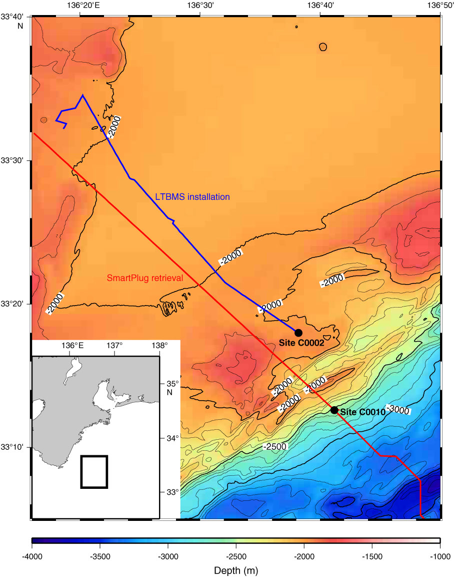
Figure F1. Ship tracks over the bathymetric map around Sites C0002 and C0010 in the Nankai Trough. Red line = ship tracks during SmartPlug retrieval, blue line = ship tracks during long-term borehole monitoring system (LTBMS) installation. Inset shows location of adjacent regions. The GMT software package (Wessel and Smith, 1998) was used to generate the maps.
Close | Next | Top of page