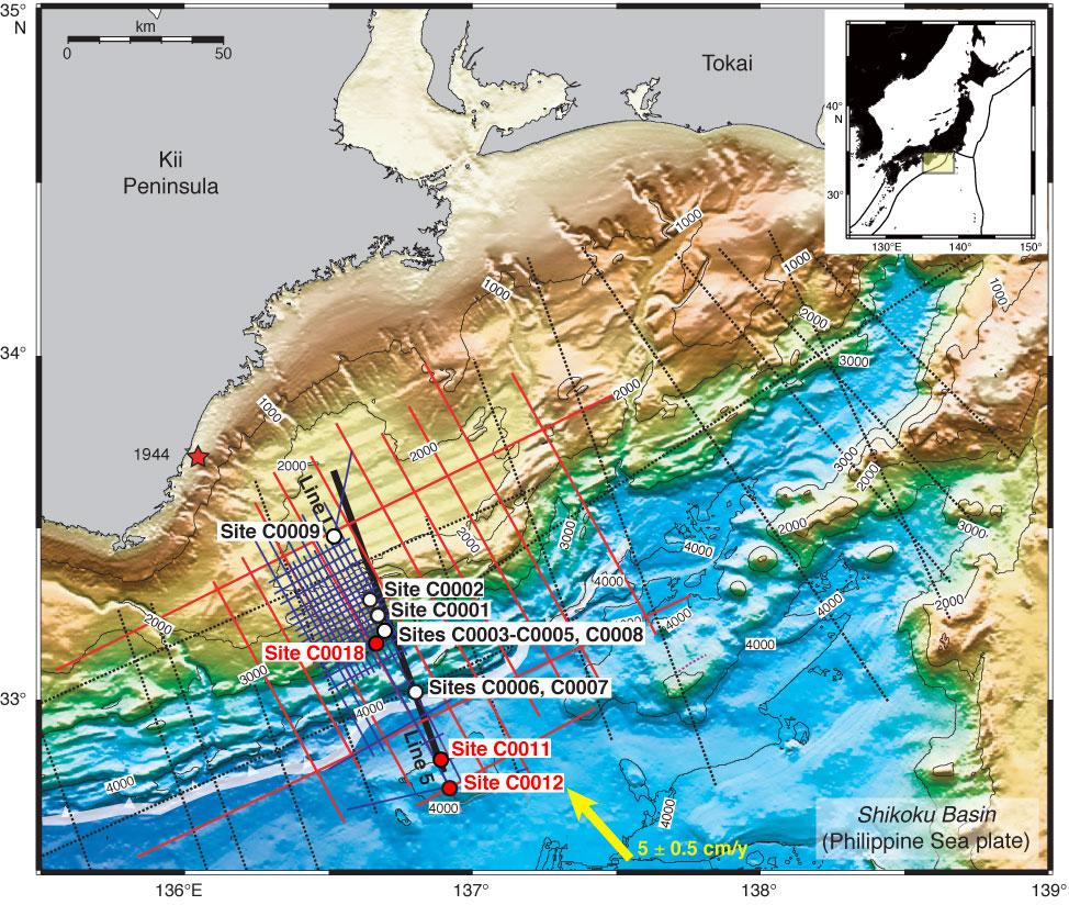
Figure F2. Bathymetric map, with 2-D multichannel seismic profile locations, NanTroSEIZE Stage 1 and 2 drill sites (white circles), and Expedition 333 drill sites (red circles). White barbed line = position of deformation front of accretionary prism, yellow arrow = estimated far-field vectors between Philippine Sea plate and Japan (Seno et al. 1993; Heki, 2007).
Previous | Close | Next | Top of page