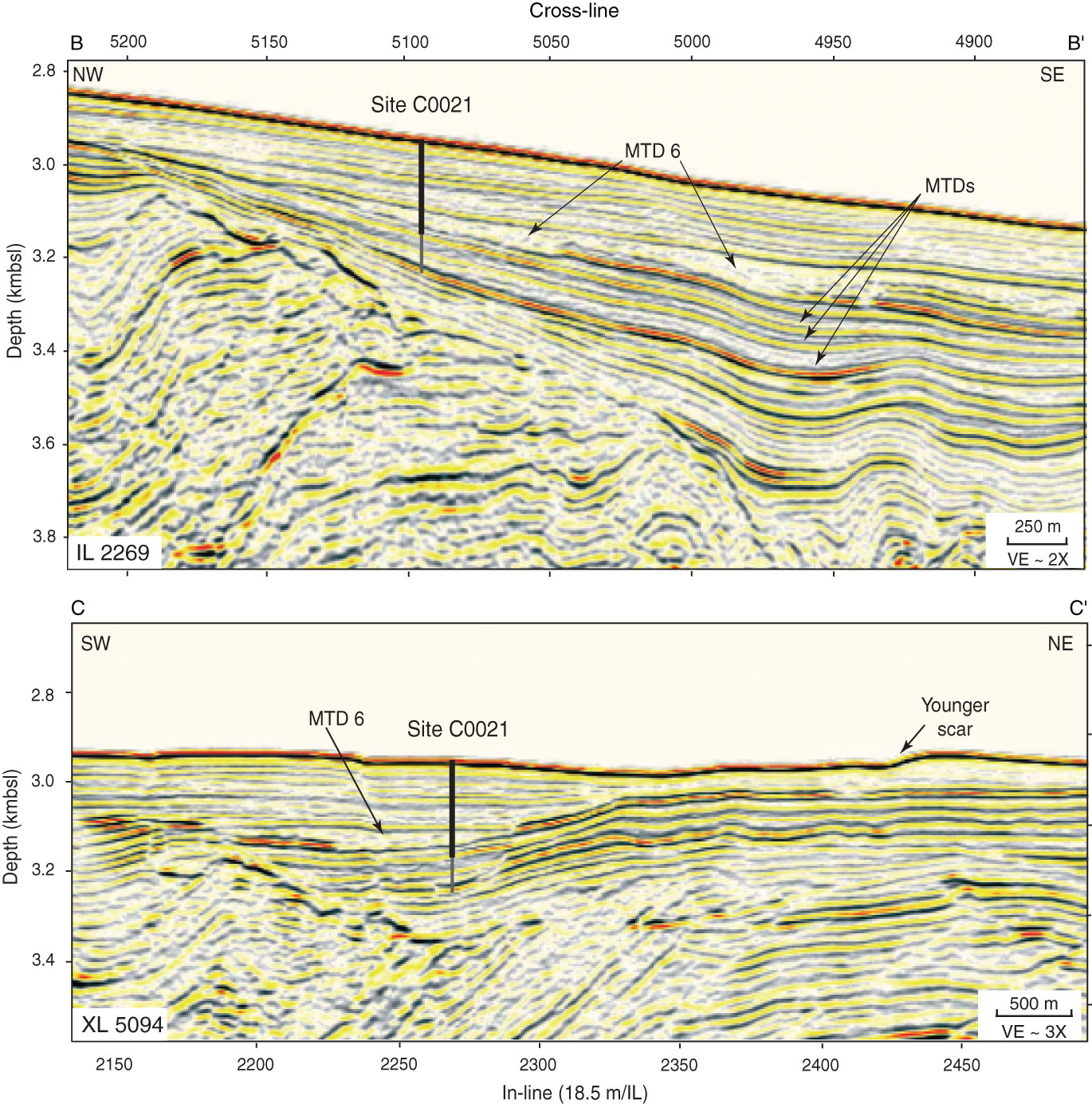
Figure F4. Seismic lines crossing Site C0021 showing locations of mass transport deposits (MTDs). Upper line is In-line (IL) 2269, lower line is Cross-line (XL) 5094. Thick line represents the extent of coring in Hole C0021B, and the thinner gray extension represents the extent of LWD in Hole C0021A. Locations shown in Figure F2. VE = vertical exaggeration.

Previous | Close | Next | Top of page