Previous | Close | Next
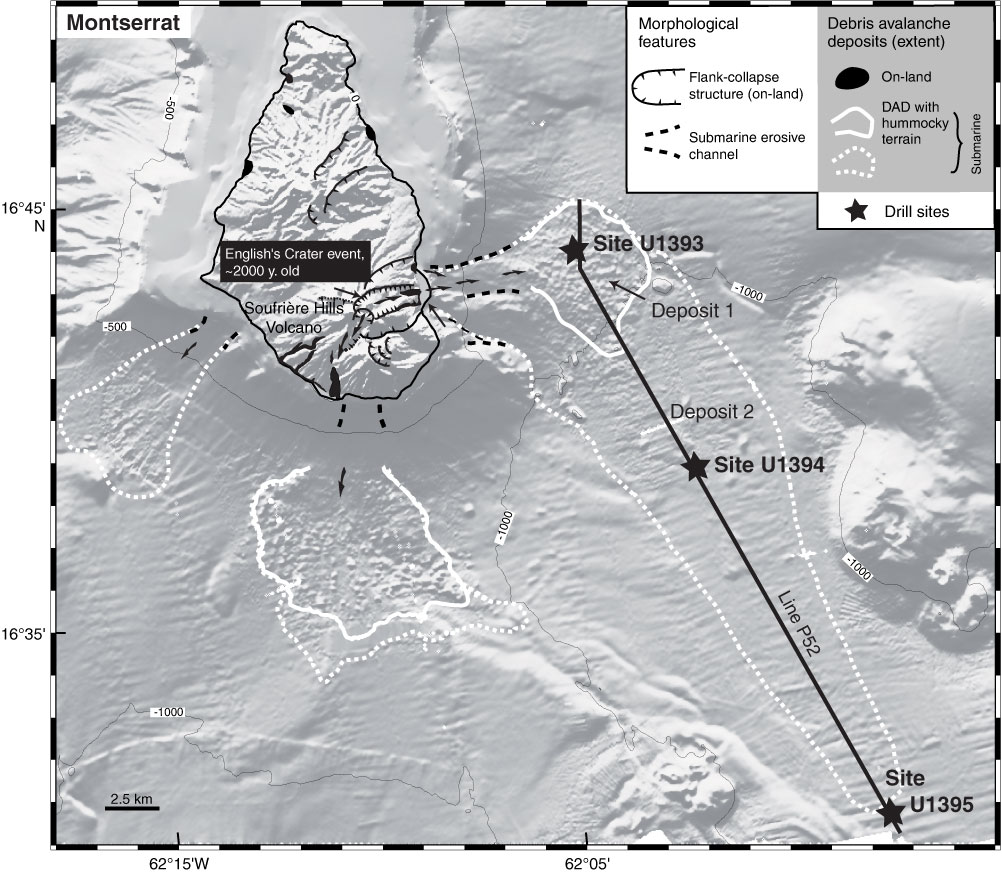
Figure F2. Montserrat. Shaded image of topography-bathymetry, extent of chaotic units (interpreted as debris avalanche deposits), and drill sites, Expedition 340.
Previous | Close | Next | Top of page