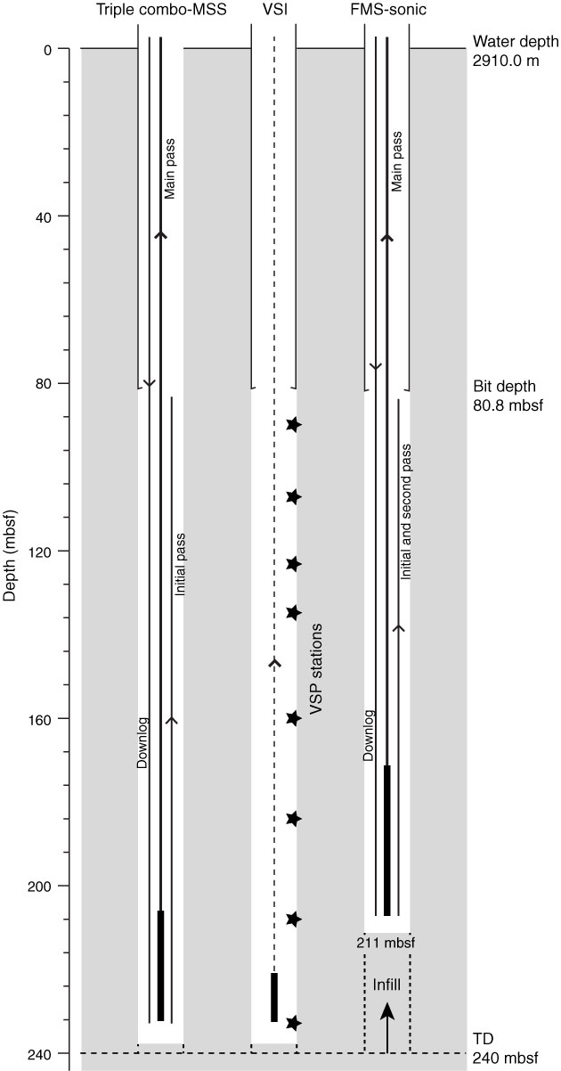
Figure F13. Schematic of tool deployments in Hole U1399C, indicating the degree of infill through the course of the logging program. MSS = Magnetic Susceptibility Sonde, VSI = Versatile Seismic Imager, FMS = Formation MicroScanner. TD = total depth. Stars indicate the eight vertical seismic profile (VSP) stations.
Previous | Close | Next | Top of page