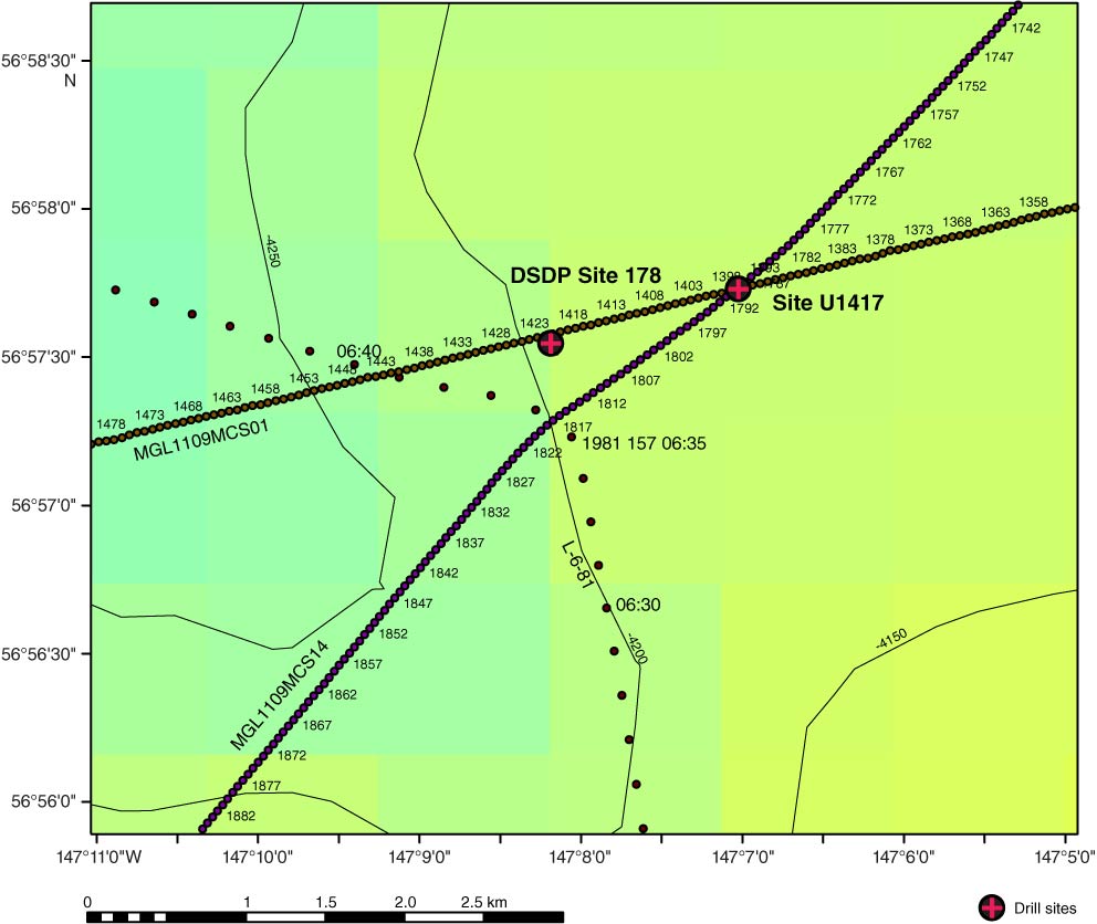
Figure F5. Bathymetry close to Site U1417, showing minimal local topography. Depth is in meters. Site U1417 lies at the intersection of seismic Lines MG1109MCS01 and MGL1109MCS14 and is ~1.5 km from DSDP Site 178. Red dots are USGS Line L-6-81 with shot point times noted. For MGL1109 lines, numbers refer to shot points.
Previous | Close | Next | Top of page