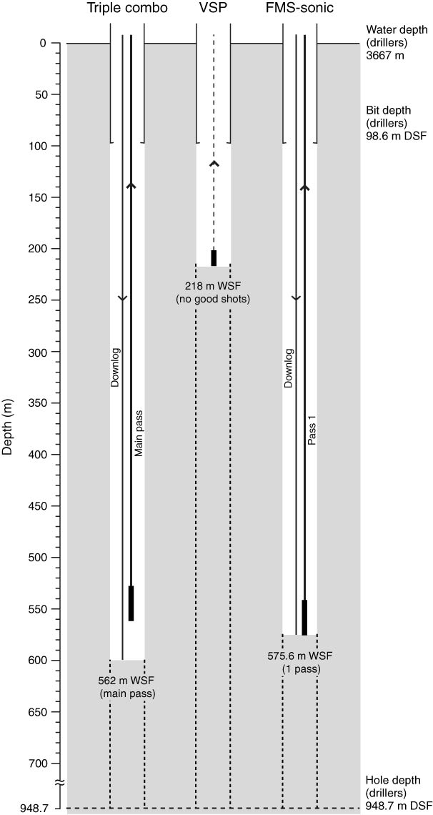
Figure F48. Logging operations summary diagram for Hole U1418F, showing wireline depths reached during different logging passes and borehole depths. See Table T6 in the “Methods” chapter (Jaeger et al., 2014a) for definitions of depth scales. VSP = vertical seismic profile, FMS = Formation MicroScanner.
Previous | Close | Next | Top of page