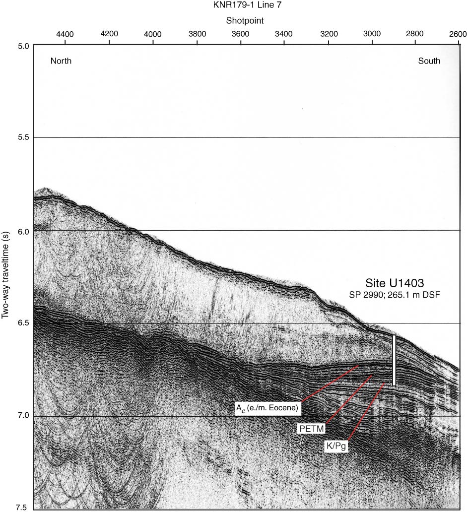
Figure F2. Single-channel seismic KNR179-1 Line 7 north–south dip line crossing Site U1403 (at shotpoint [SP] 2990). White bar represents the depth of penetration (265.1 mbsf) using a ~100 m per 0.1 s depth-to-time conversion. Identified acoustic horizons shown at the approximate locations of the early/middle Eocene boundary, the Paleocene/Eocene Thermal Maximum (PETM), and Cretaceous/Paleogene (K/Pg) boundary.

Previous | Close | Next | Top of page