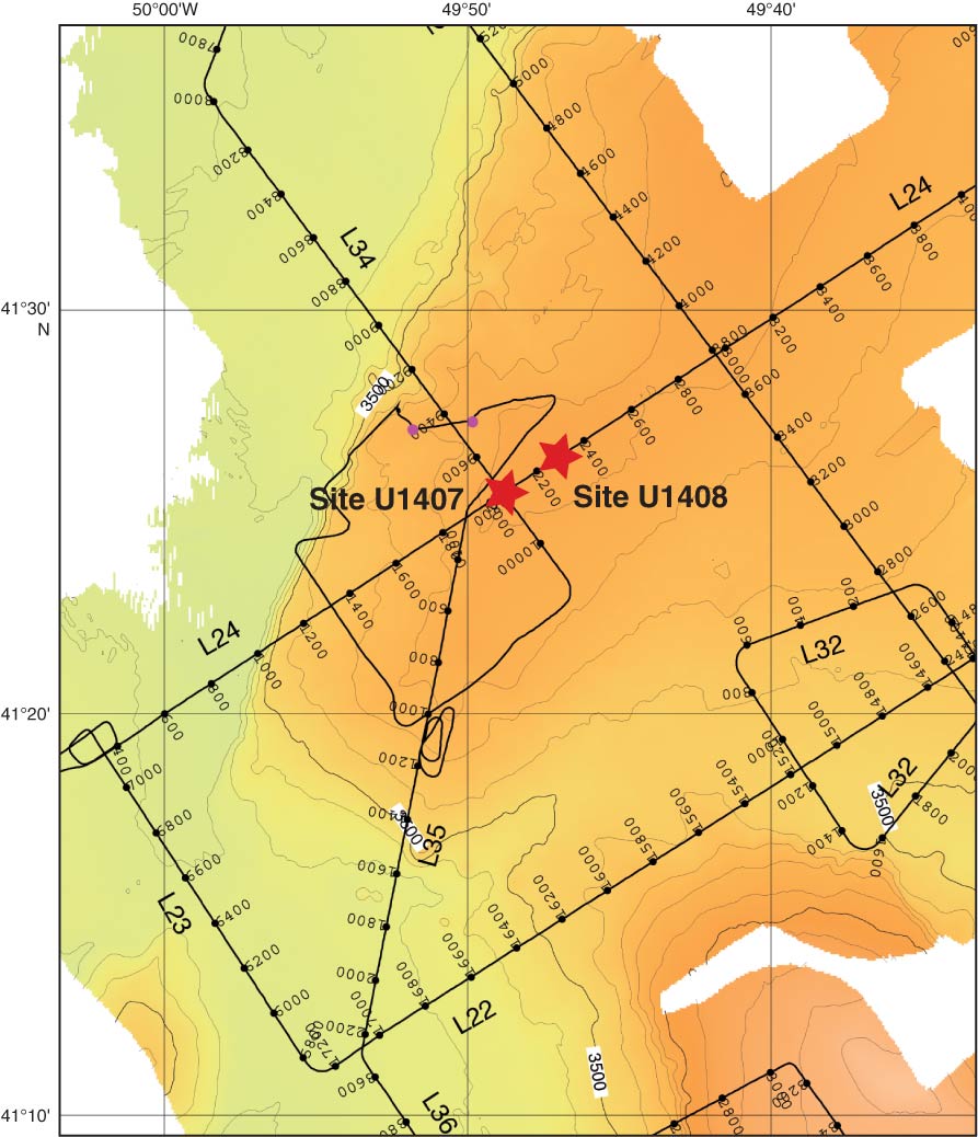
Figure F1. Bathymetric map of northwestern Southeast Newfoundland Ridge, northeast of J-Anomaly Ridge, Expedition 342. Data are based on multibeam mapping by the KNR179-1 site survey. Track lines, shotpoints, and line numbers are indicated for the single-channel seismic reflection profiles in Figures F2 and F3.
Close | Next | Top of page