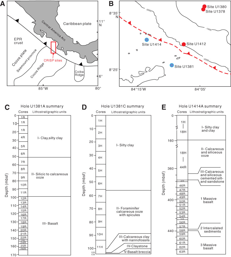
Figure F1. A. Geological map and locations of sites drilled during IODP Costa Rica Seismogenesis Project (CRISP). EPR = East Pacific Rise. B. Location of Sites U1381 and U1414 drilled during Expeditions 334 and 344. A new hole was drilled at Site U1381 during Expedition 344. C. Lithostratigraphic units for Hole U1381A (from Expedition 334 Scientists, 2012a). D, E. Lithostratigraphic units for Holes 1381C and U1414A (from the “Expedition 344 summary” chapter [Harris et al., 2013a]).
Close | Next | Top of page