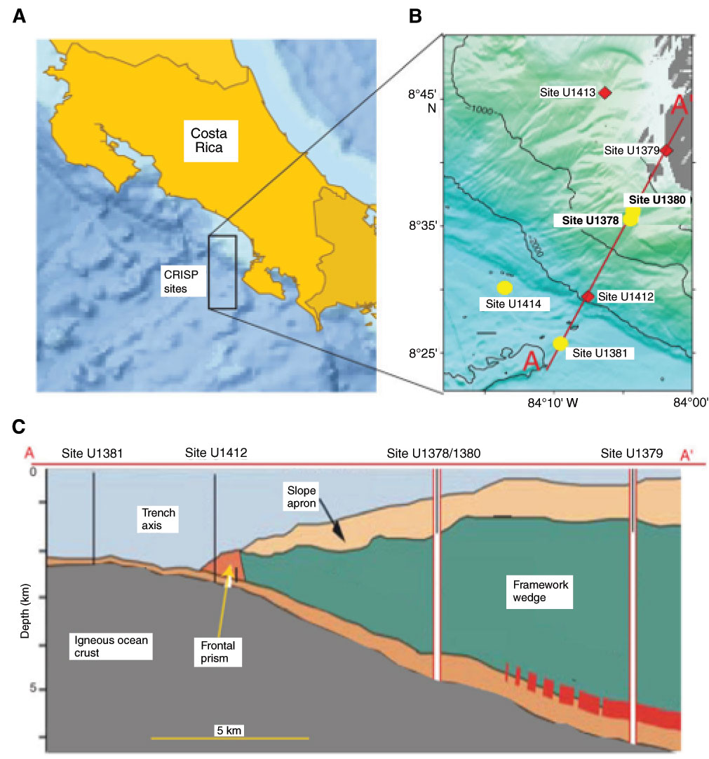
Figure F1. Drilling location map, adapted from Ross et al. (2015). A. Study area location off the Pacific coast of Costa Rica. CRISP = Costa Rica Seismogenesis Project. B. Site locations drilled during Expeditions 334 and 344. Yellow circles = sites analyzed for pore fluid REEs in this report. C. Schematic depicting the subduction of the Cocos plate under the Caribbean plate and the locations of Sites U1378/U1380 and Site U1381 along transect A–A′.
Close | Next | Top of page