Next Section | Table of Contents
doi:10.2204/iodp.sp.307.2005
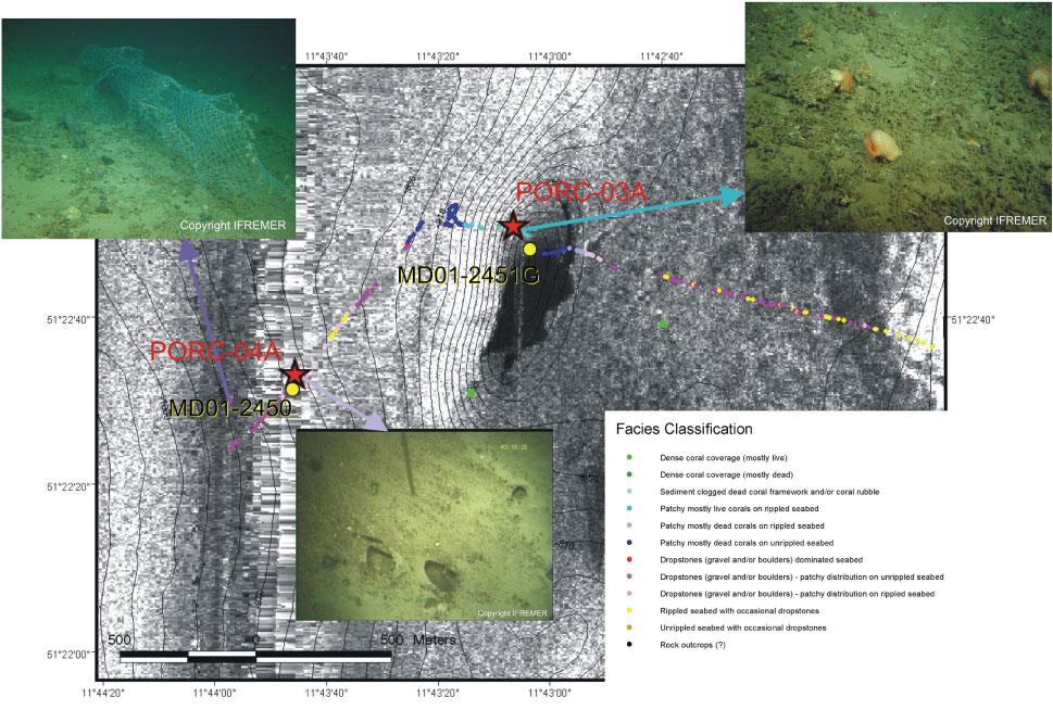
Figure F16. ROV videotrack/TOBI side-scan sonar map with facies interpretation over Challenger mound. Imagery corresponds respectively with a lost fishing net, dead coral debris and dropstones on a sandy seabed.