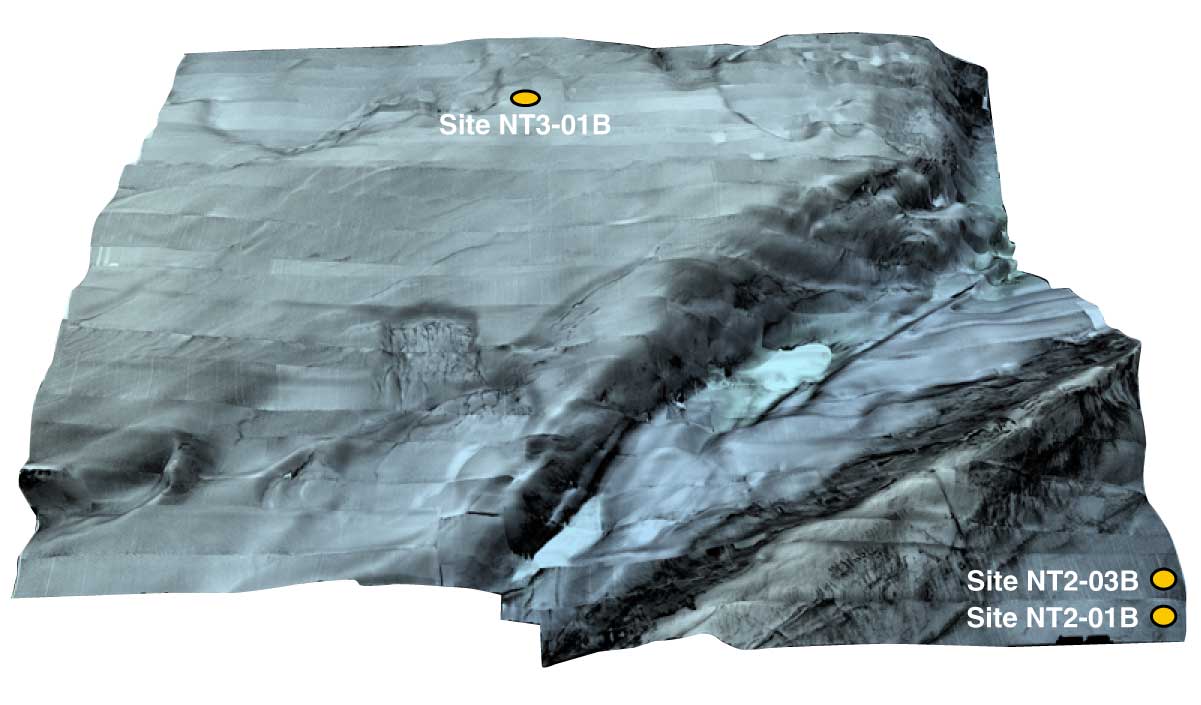
Figure F9. High-resolution bathymetric data collected by deep-tow sidescan sonar over the Kumano Basin and forearc slope showing the roughness and steepness of the proposed drill sites. Areal coverage does not include sites in the trench or reference sites on the Philippine Sea plate (Sites NT1-03, NT1-04, NT1-02, and NT1-07).
Previous | Close | Next | Top of page