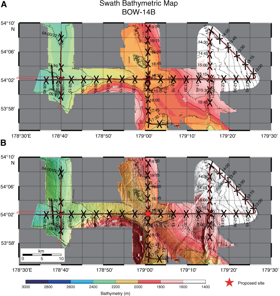
Figure AF11. Swath bathymetric map with track chart from Hakuhou-maru Cruise KH99-3 around Site BOW-14B. A. Plain image. B. Shaded relief image. Site is located at crossing of survey lines at 10:45:03, Shotpoint number 670, on Line Stk5-1 (W–E) and 18:25:13, Shotpoint 2488, on Line Stk5-5 (S–N).
Previous | Close | Next | Top of page