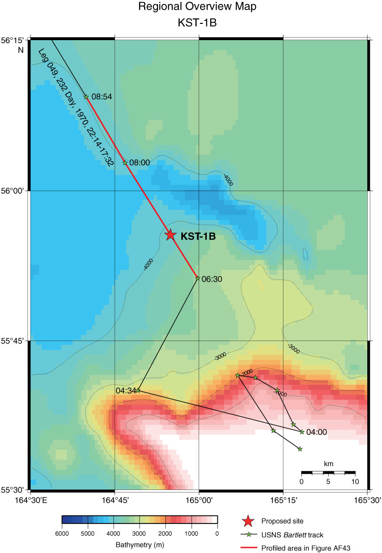
Figure AF42. Regional overview map around Site KST-1B (164°54.9´E, 55°55.6´N; water depth = 3435 m) with track-chart of USNS Bartlett Cruise 02, Leg 049, 232 Day, 1970, 22:14–17:32. Bathymetric image and contour line created by GMT (gmt.soest.hawaii.edu) using GINA Global Topo Data (www.gina.alaska.edu).
Previous | Close | Next | Top of page