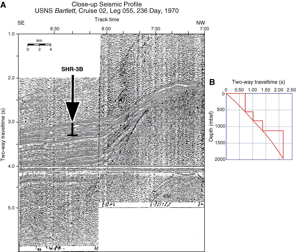
Figure AF51. A. Close-up seismic profile of USNS Bartlett Cruise 02, Leg 054, 235 Day, 1970, 23:14–01:20 with location of Site SHR-1B (170°06.4´E, 57°19.0´N; 0:30; water depth = 963 m; penetration depth = 200 m). B. Time-depth conversion curve used for Site SHR-1B. Two-way traveltime and vRMS data collected from seismic profile of USGS Lee Cruise L6-80, Line 6, CDP 785. Water depth is deleted in this figure.
Previous | Close | Next | Top of page