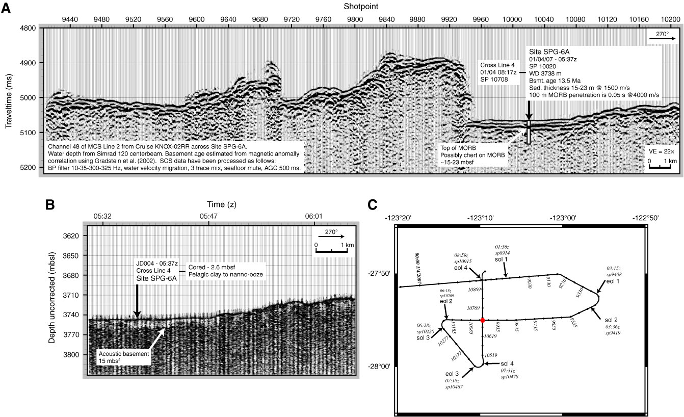
Figure AF16. Single-channel seismic (SCS) Line 2 from Cruise KNOX-02RR, proposed Site SPG-6A. SP = shotpoint, WD = water depth, MORB = mid-ocean-ridge basalt, MCS = multichannel seismic, BP = band-pass, AGC = automatic gain control, VE = vertical exaggeration. B. Portion of 3.5 Hz seismic Line 2. C. Survey track chart, proposed Site SPG-6A (seismic Lines 1, 2, 3, and 4). Start of line (sol) and end of line (eol) indicated with time (z) and shotpoint (sp). Tick marks are every 10 min (50 shots); selected tick marks labeled with shotpoint. Red dot = proposed Site SPG-6A.

Previous | Close | Next | Top of page