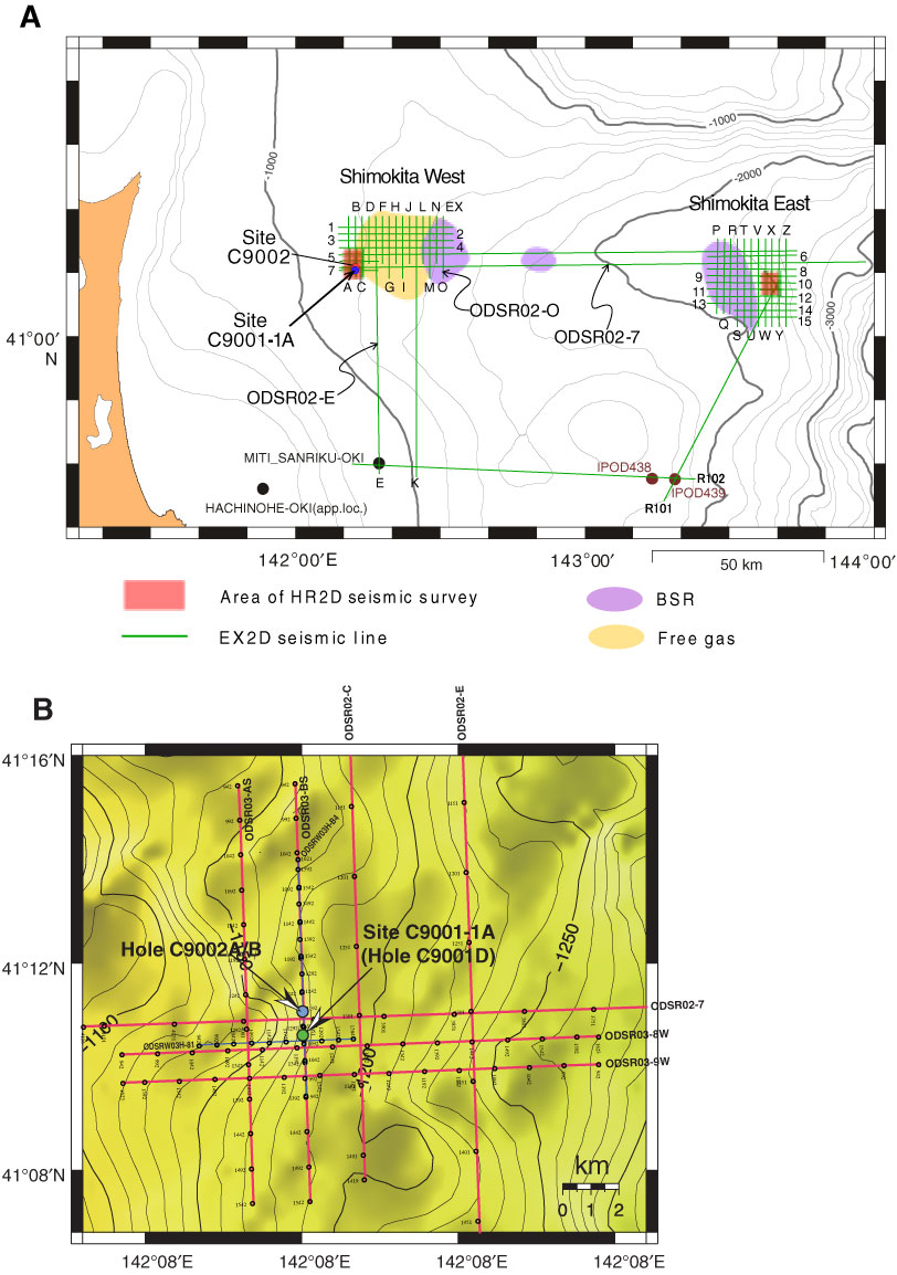
Figure F4. Location map of seismic survey tracklines in (A) 2002 and (B) 2003 and existing drill holes. Red squares = areas for high resolution two-dimensional (2-D) seismic survey. Bottom-simulating reflector (BSR) is recognized at ~600 mbsf in the western area and 640 mbsf in the eastern area. In addition, existence of free gas is anticipated in the western area, adjacent to the BSR-developed zone.
Previous | Close | Next | Top of page