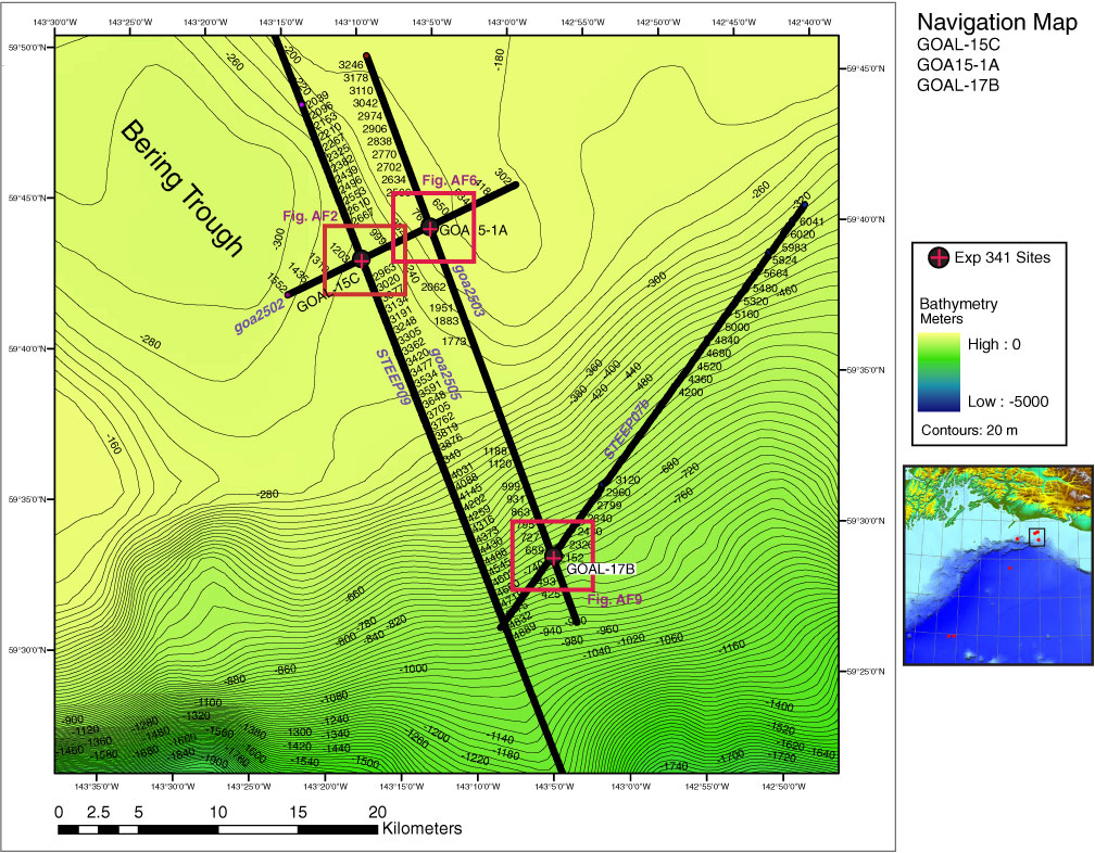
Figure AF1. Overview bathymetry and seismic reflection profiles with proposed primary Sites GOAL-15C and GOAL-17B and alternate Site GOA15-1A, on the outer continental shelf and upper continental slope on the Gulf of Alaska near the Bering Trough. Line annotations are CDPs. Squares = navigation map area for close-up seismic profiles in Figures AF2, AF6, and AF9. See inset for approximate location.

Close | Next | Top of page