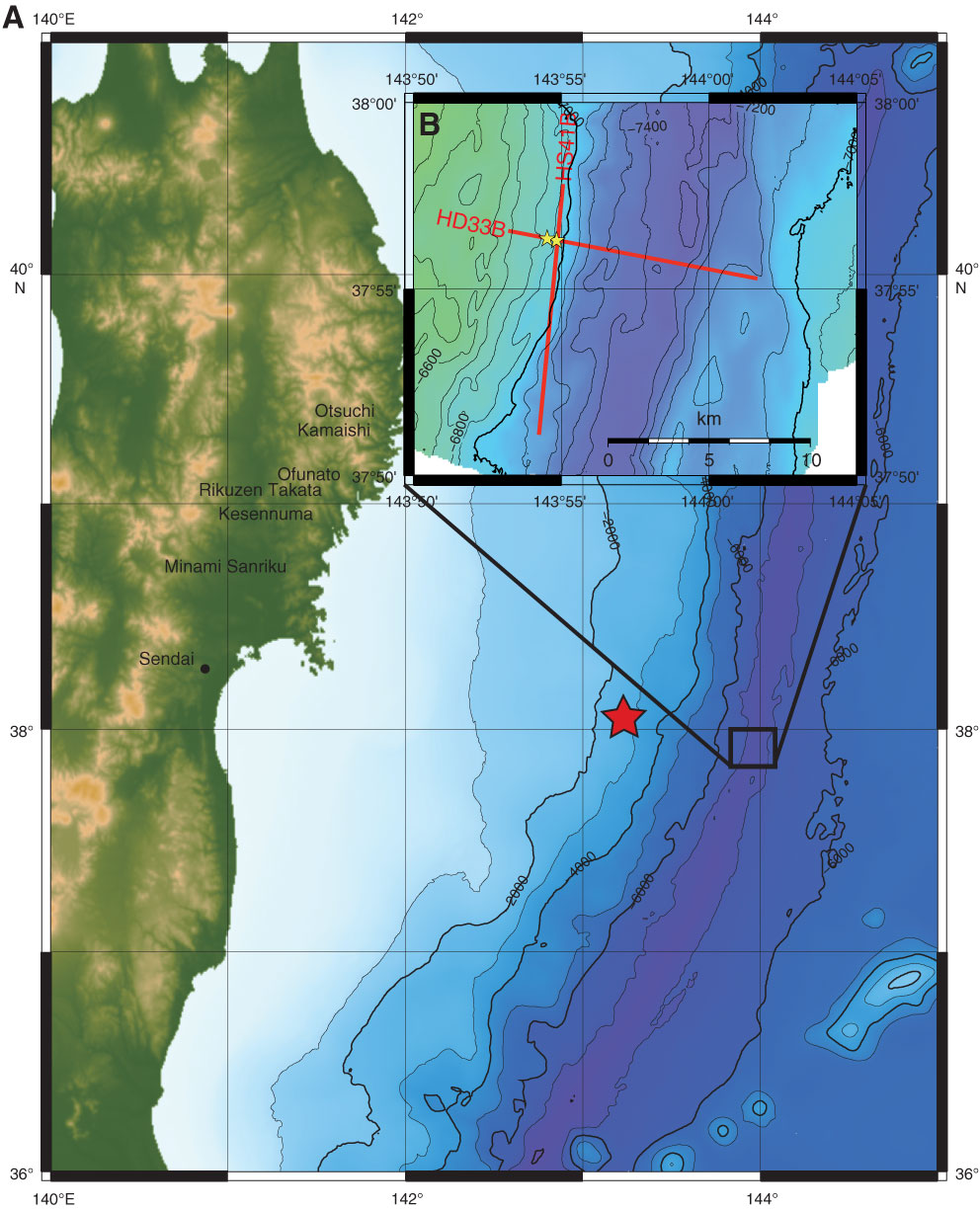
Figure F1. A. Large-scale map showing Tohoku region and epicenter of 11 March 2011 Tohoku earthquake (red star) along with the survey lines and IODP Expedition 343 proposed drill site (in box). B. Close-up map, showing proposed Sites JFAST-3 and JFAST-4.
Close | Next | Top of page