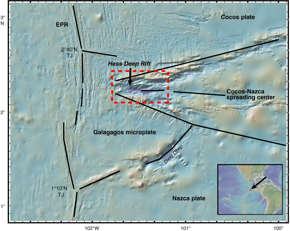
Figure F3. Map of the Galapagos triple junction in the eastern equatorial Pacific showing bathymetry derived from satellite altimetry data and archived multibeam bathymetry data available from the Global MultiResolution Topography Data Portal at Lamont Doherty Earth Observatory. The map was generated using GeoMapApp (Ryan et al., 2009). Tectonic boundaries modified from Smith et al. (2011).Red box with dashed lines indicates location of the map in Figure F4. EPR = East Pacific Rise, TJ = triple junction.
Previous | Close | Next | Top of page