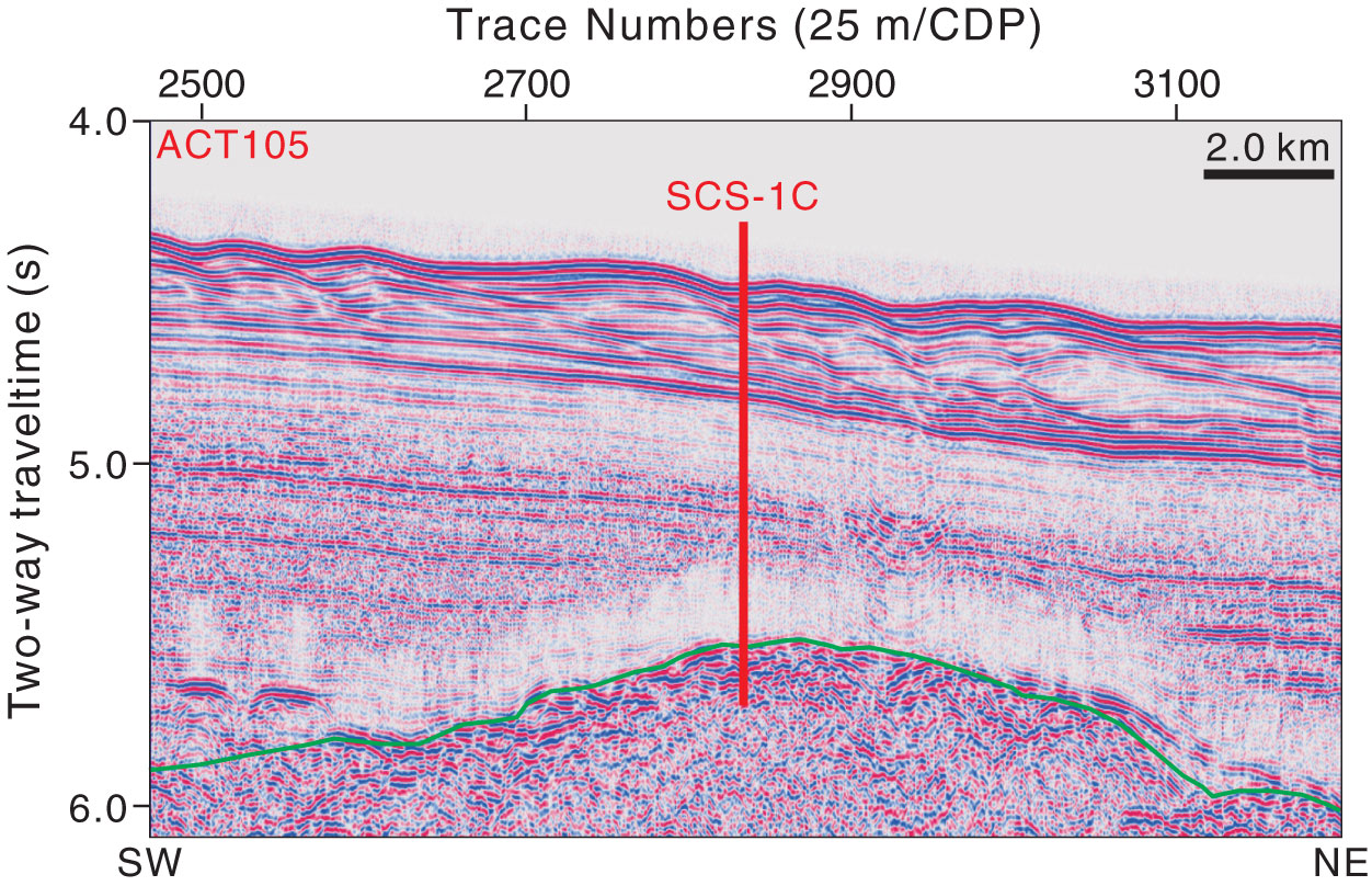
Figure AF42. Seismic profile line ACT105 (southwest–northeast) with location of proposed Site SCS-1C (21°0.15′N, 119°47.10′E; common depth point [CDP] 2836; water depth = 3306 m; target depth = 1210 mbsf). Green line = interpreted top basement.
Previous | Close | Top of page