Previous | Close
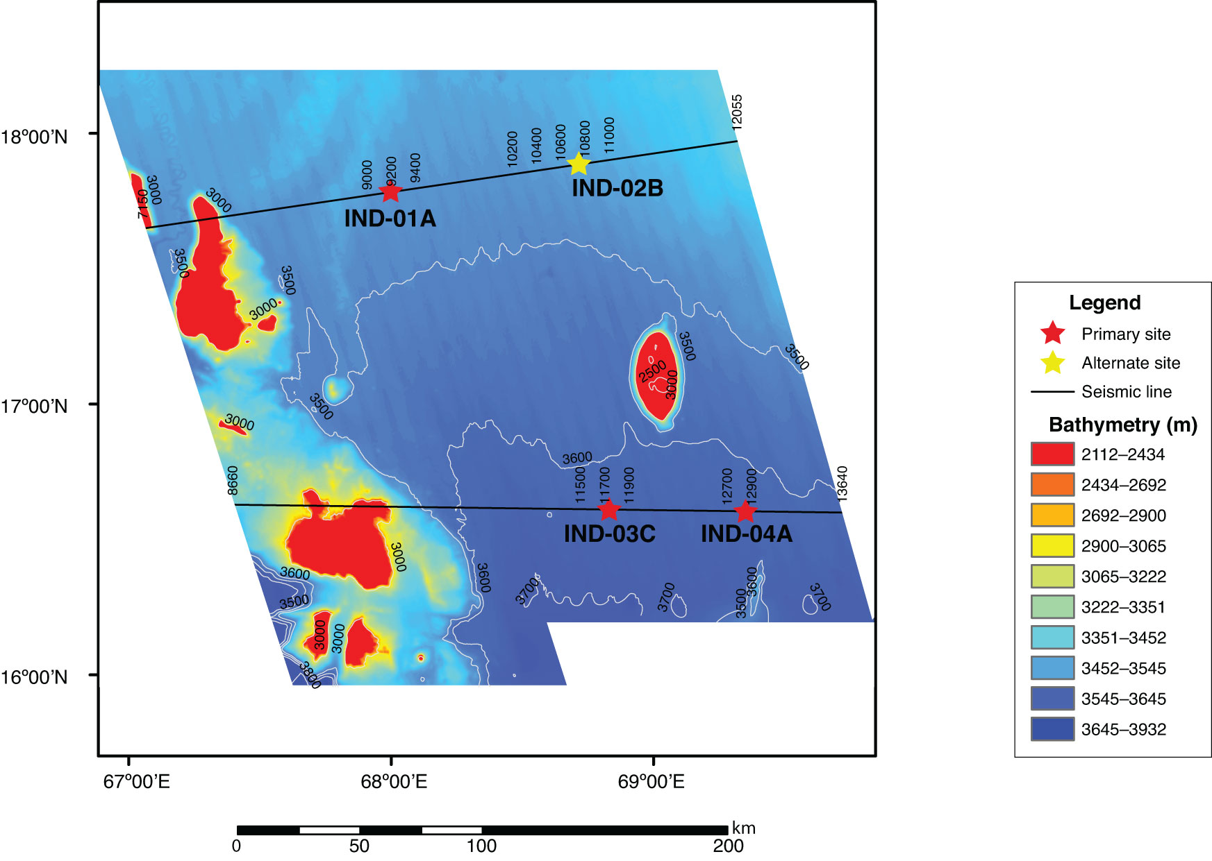
Figure F6. Map showing high-resolution multibeam bathymetry data acquired around the Expedition 355 proposed drill sites.
Previous | Close | Top of page