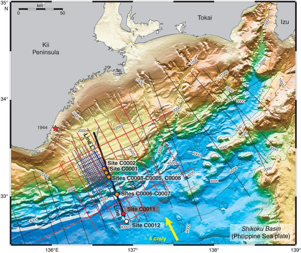
Figure F2. Bathymetric map, with 2-D multichannel seismic profile locations and Stage 1 drill sites (orange). Expedition 322 drilled Sites C0011 (red) and C0012 (white). White barbed line = position of deformation front of accretionary prism, arrow = convergence vector between Philippine Sea plate and Japanese Islands (Eurasian plate).
Previous | Close | Next | Top of page