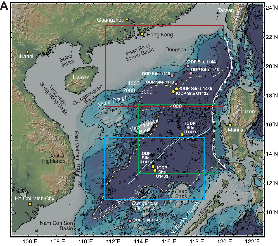
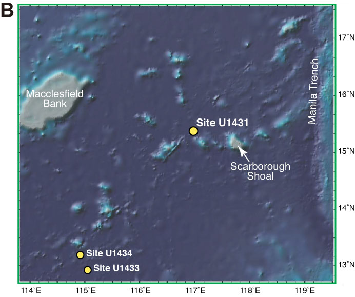
Figure F8. A. Bathymetric map of the South China Sea and surrounding region. Yellow circles denote sites drilled during International Ocean Discovery Program (IODP) Expedition 349. Solid pink circles are sites drilled during Ocean Drilling Program (ODP) Leg 184. Yellow dashed line = inferred continent/ocean boundary, blue lines = fossil South China Sea spreading center, white line with triangles = Manila Trench. B. Detailed bathymetry around Site U1431 (green box in A) showing nearby bathymetric highs and the Manila Trench. (Continued on next page.)
Previous | Close | Next | Top of page