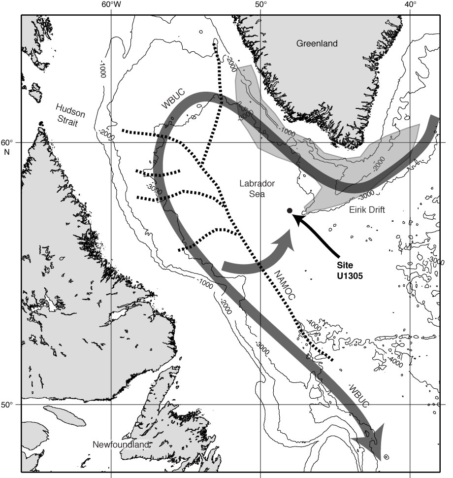
Figure F1. Bathymetric map showing the location of Site U1305 and the nature of the present-day current system in the Northwest Atlantic (see the “Site U1305” chapter [Expedition 303 Scientists, 2006b]; Hillaire-Marcel and Bilodeau, 2000; Hillaire-Marcel et al., 1994); NAMOC = Northwest Atlantic Mid-Ocean Channel, WBUC = Western Boundary Undercurrent. The bathymetric map was compiled from ETOPO2 data using GMT ver. 3.0. Contours are 1000 m intervals.
Close | Next | Top of page