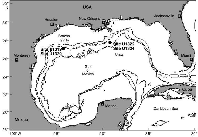
Figure F1. Map of the Gulf of Mexico, showing drilling positions of IODP Sites U1319 (1430 mbsl) and U1320 (1470 mbsl) in Brazos-Trinity region and Sites U1322 (1319 msbl) and U1324 (1057 mbsl) in Ursa region. Black lines = off shore water depth isobaths of 500, 1000, and 2000 mbsl.
Close | Next | Top of page